
ARTHUS, Gotthard
TRAVELS AND CARTOGRAPHY
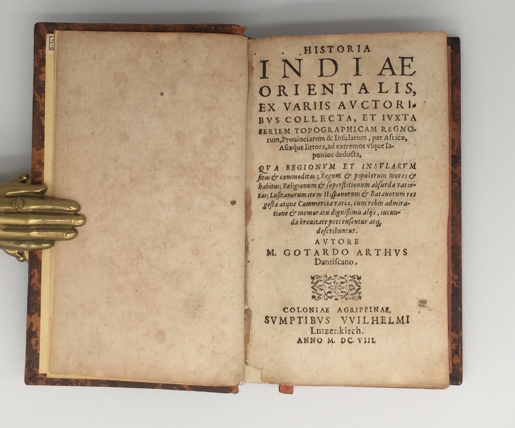

Historia Indiae Orientalis
Cologne, Wilhelm Lutzenkirch, 1608£4,500.00
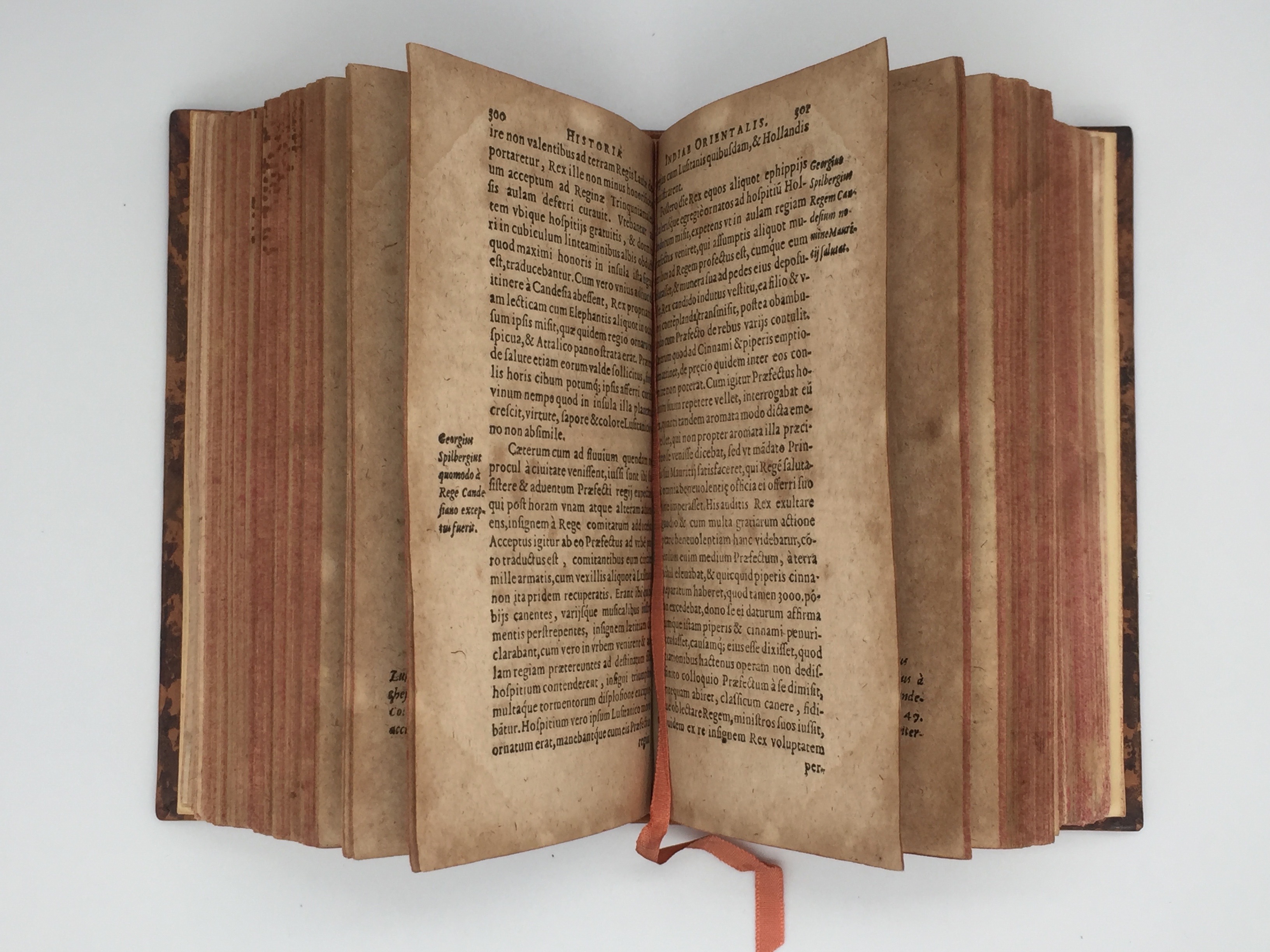
FIRST EDITION. 8vo. pp. (xviii) 616 [612], two fold-out plates. Roman letter, little Italic. Two fold-out plates with five engraved maps of the hemispheres (including the Americas and Japan), Southern Asia, Middle East and Persia, and a world portolan; decorated initials, head- and tailpieces. Age browning (poor quality paper), minor repair at lower gutter of t-p, scattered ink spots, some light waterstaining to lower outer corner of a few gatherings, one fold-out map mounted. A good copy in C19 antique-style mottled calf, edges sprinkled red, spine single gilt, gilt-lettered morocco label, silk bookmark.
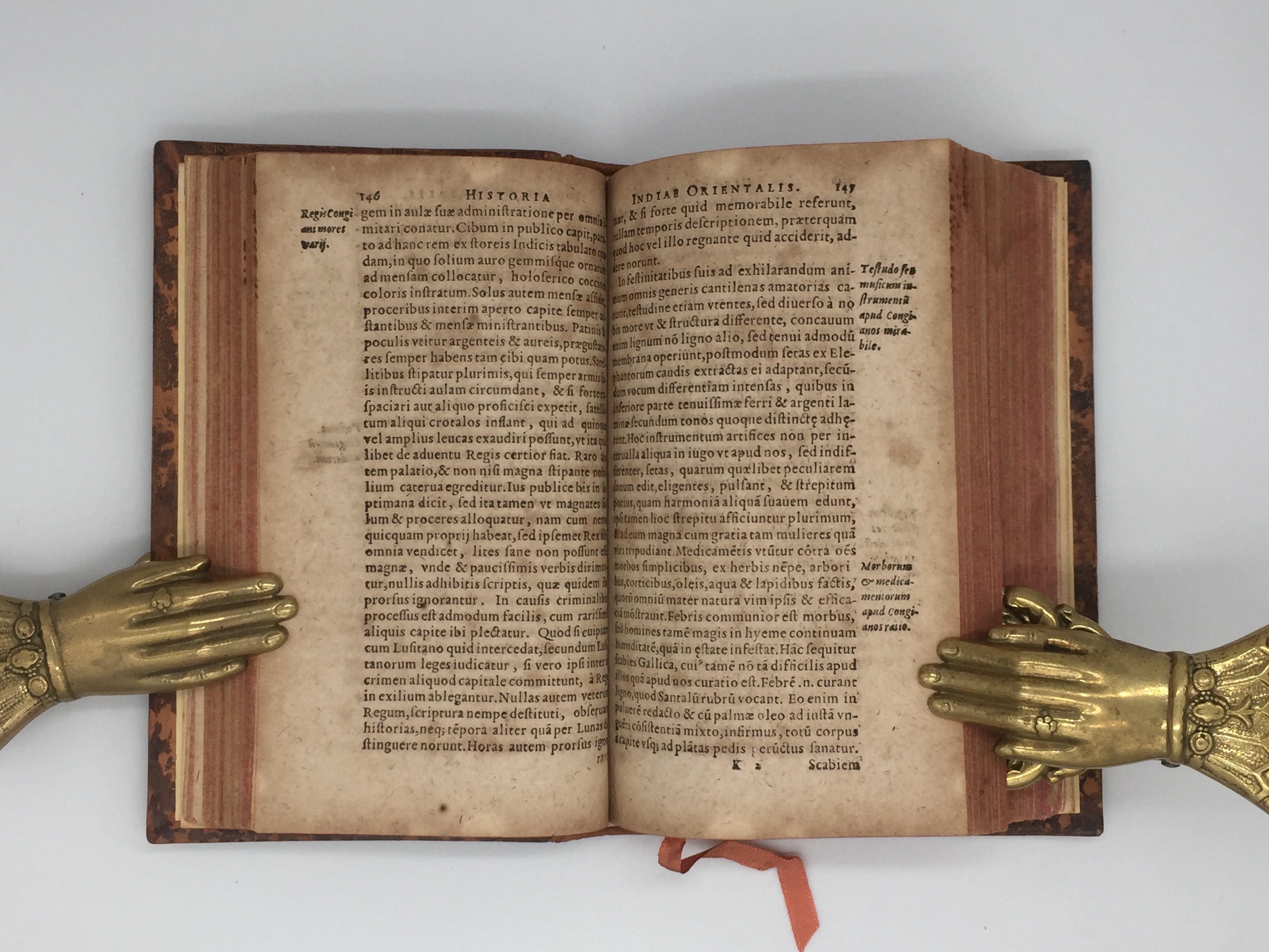
A good copy of the FIRST EDITION of this collection of travel reports from Asia and Africa. Born in Gdansk, Gotthard Arthus (1570-1630) studied at Jena and worked as co-rector at the Frankfurt Stadtschule. He struck a twenty-year long collaboration with the de Bry press to work on the Latin translation of their illustrated series ‘Historia Indiae Orientalis’—a fundamental work for the creation of a shared knowledge of the Orient in Europe—the first volume of which was published in 1597. Arthus’s work was a compilation of material also present in de Bry’s. It covered not only India, Bengal, Ceylon, Malabar, Sumatra, Japan, China, the Molucchae and Philippines, but also parts of Western Africa like Mozambique and Madagascar, as well as the Azores and even, briefly, Brazil. It employed material drawn from the most recent accounts of Portuguese and Dutch expeditions and travelogues authored by Jesuit missionaries, covering a wide variety of subjects, from physical geography to flora, fauna, customs, politics and local illnesses. The beautifully engraved maps of Southern Asia, the Middle East and Persia, here in fine condition and impression, were taken from the reduced-size edition of Ptolemy’s ‘Geography’ edited by Giovanni Antonio Magini and printed in Cologne in 1597 (Shirley 202). The world map in two hemispheres and the portolan world chart were reduced from Mercator’s double-page folio version printed in 1587 (Shirley 204).
NYPL, Princeton, LC, Newberry, UChicago and Minnesota copies recorded in the US.Sabin 2139; Alden 608/6; Cordier, Bibliotheca Indosinica, 120; Shirley 202 & 204; Brunet, I, 518.In stock