RAMUSIO, Giovanni Battista
ILLUSTRATED TRAVELS
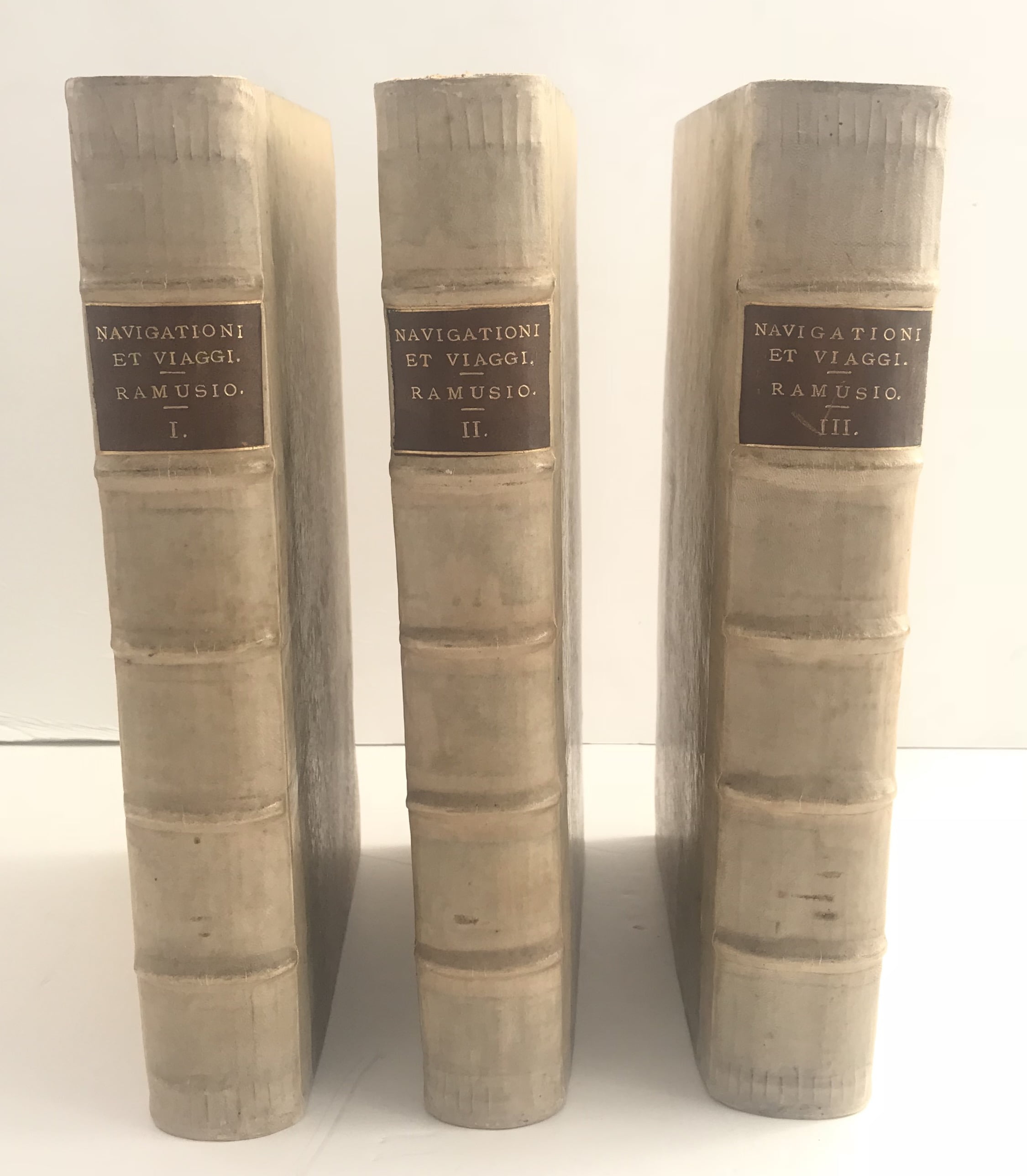
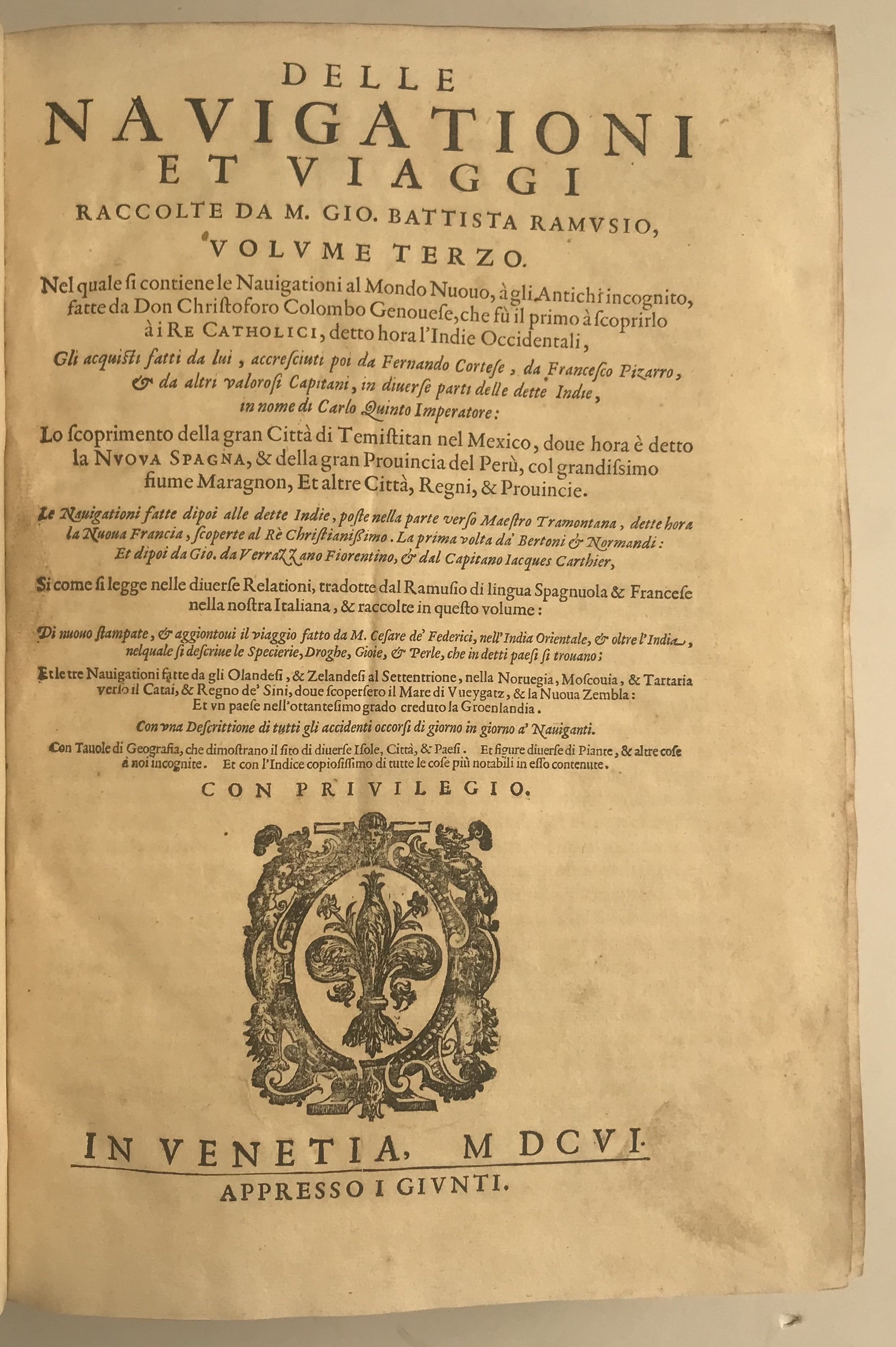
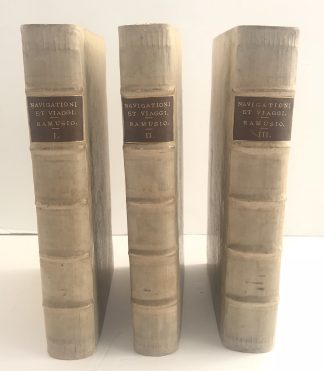
Delle navigationi et viaggi…Volume primo. (with) Delle navigationi et viaggio…Volume secondo. (with) Delle navigationi et viaggi…Volume terzo
Venice, Giunta, 1613, 1583, 1606£39,500.00
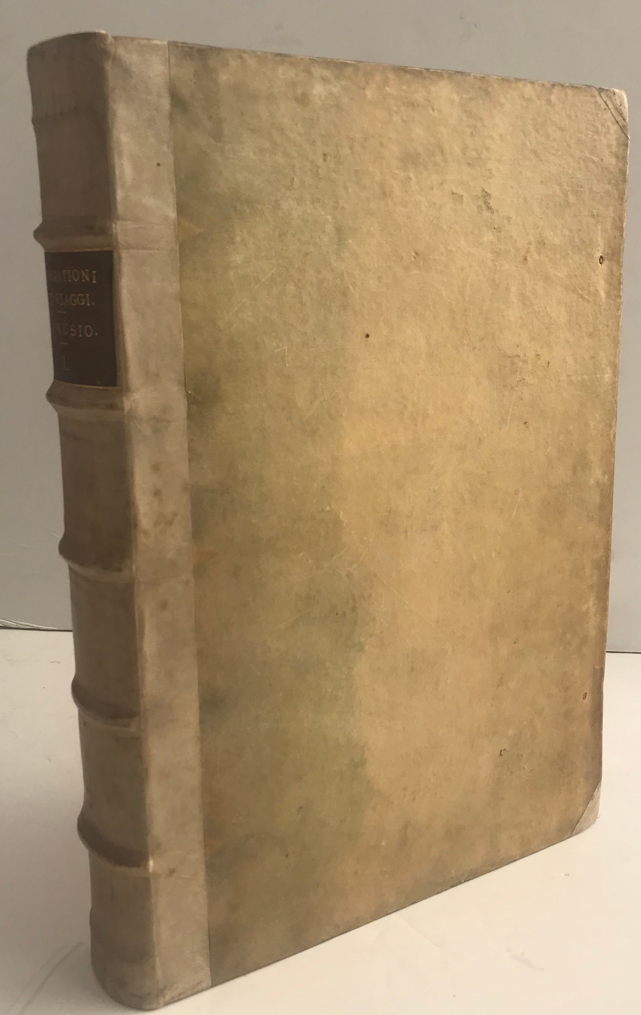
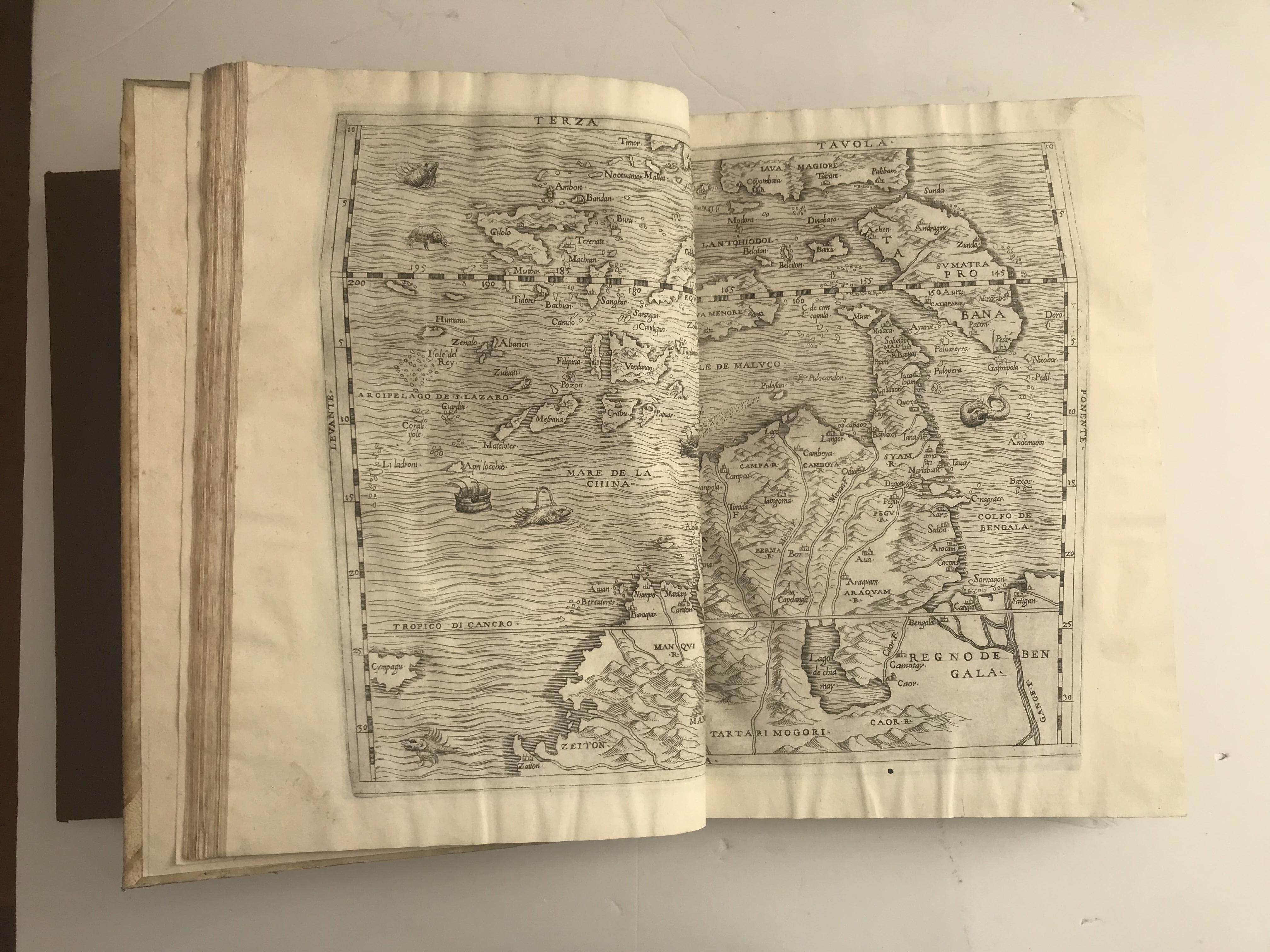
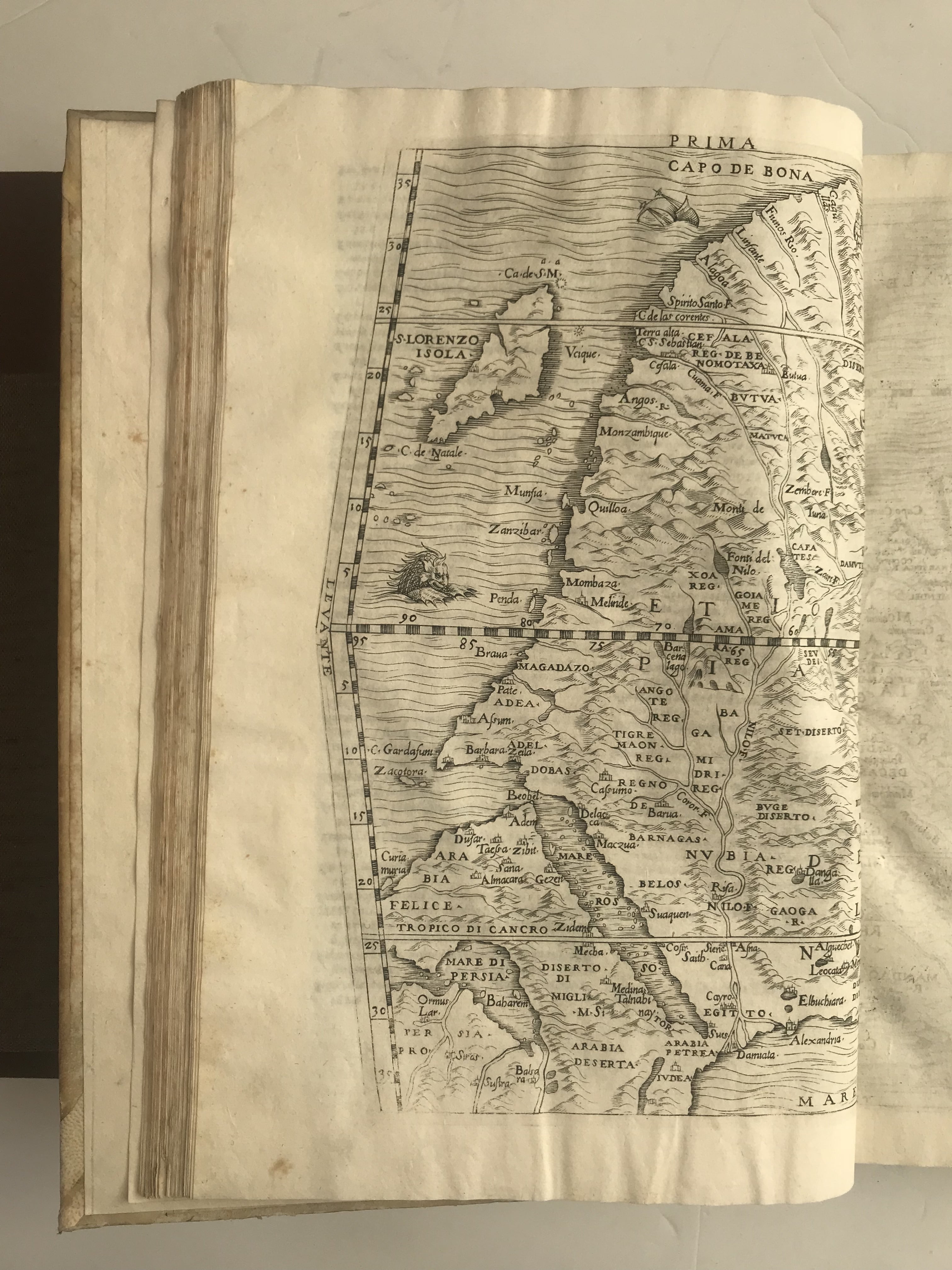
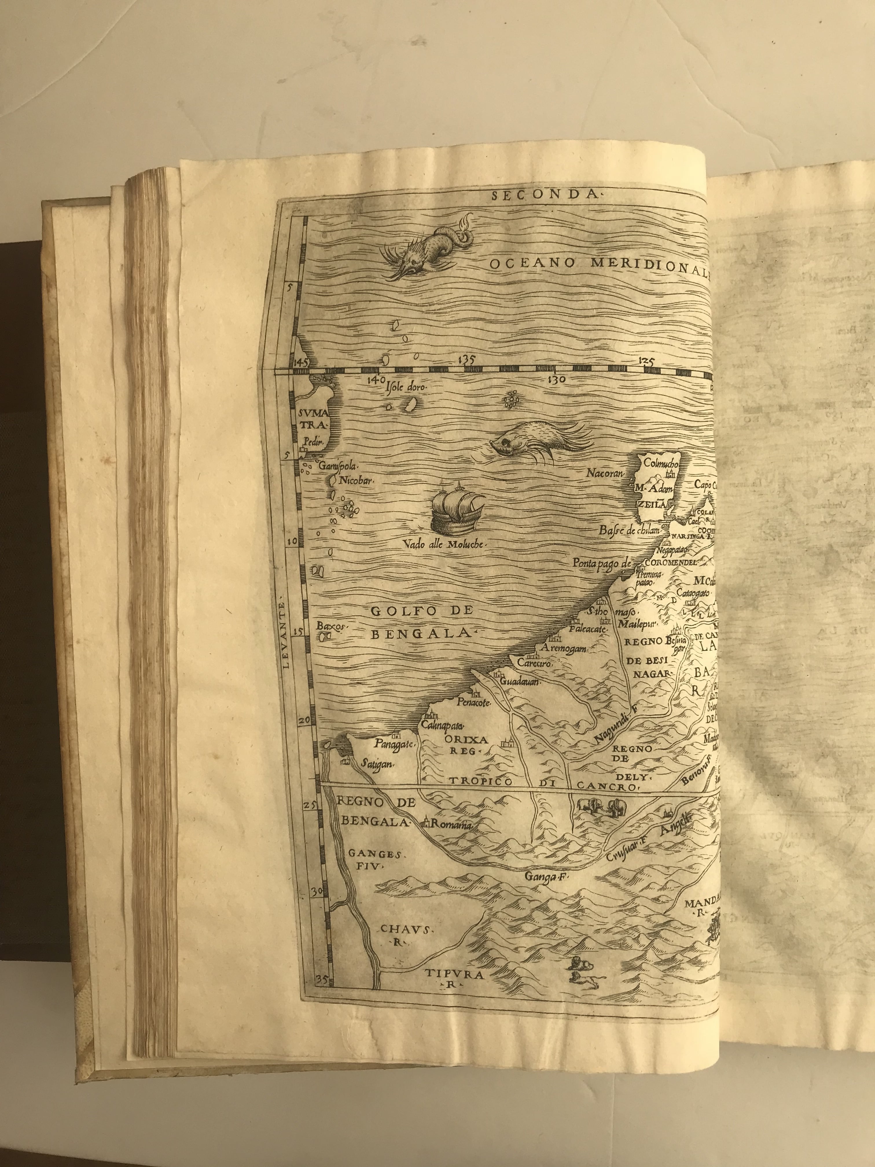
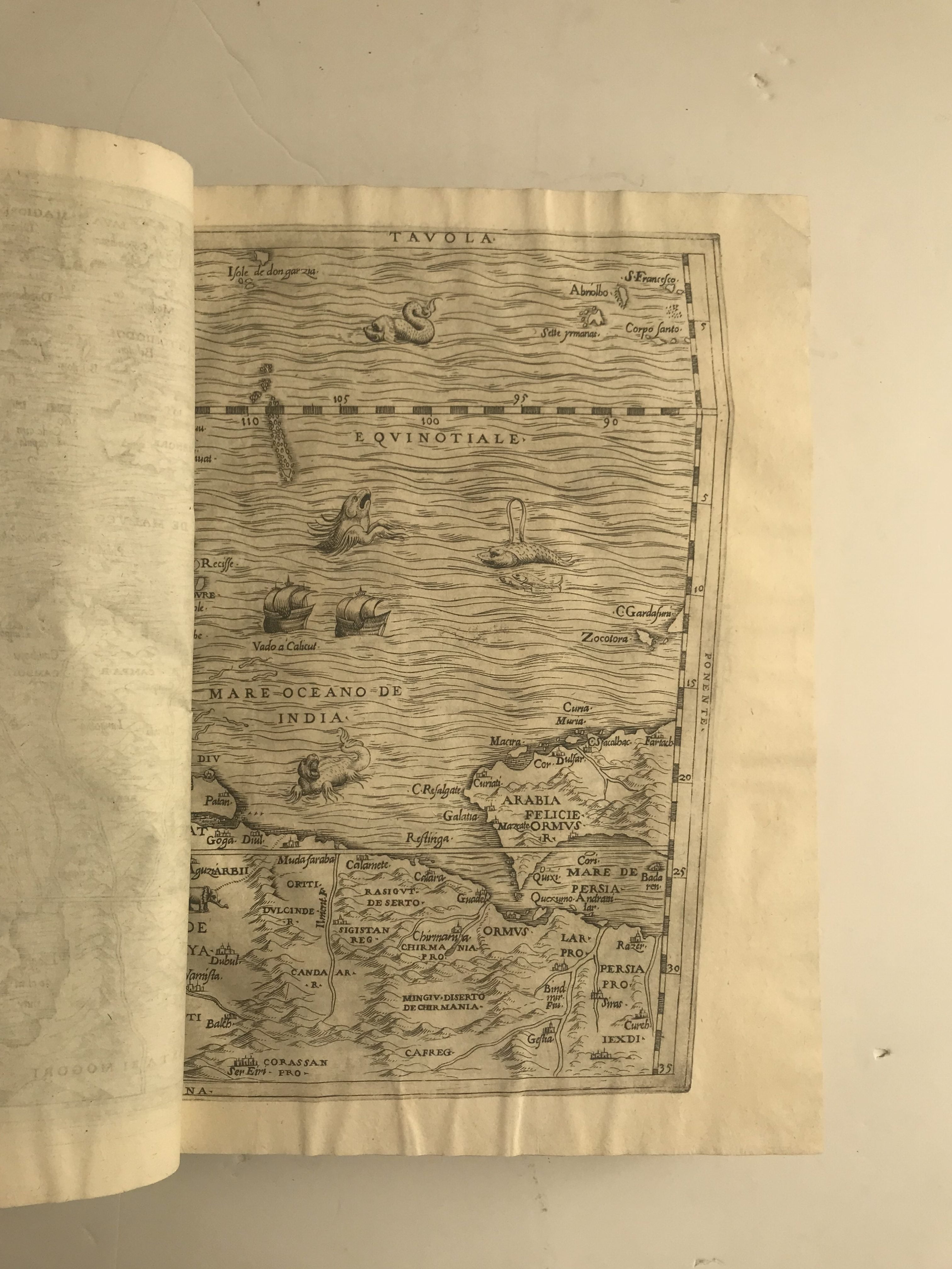
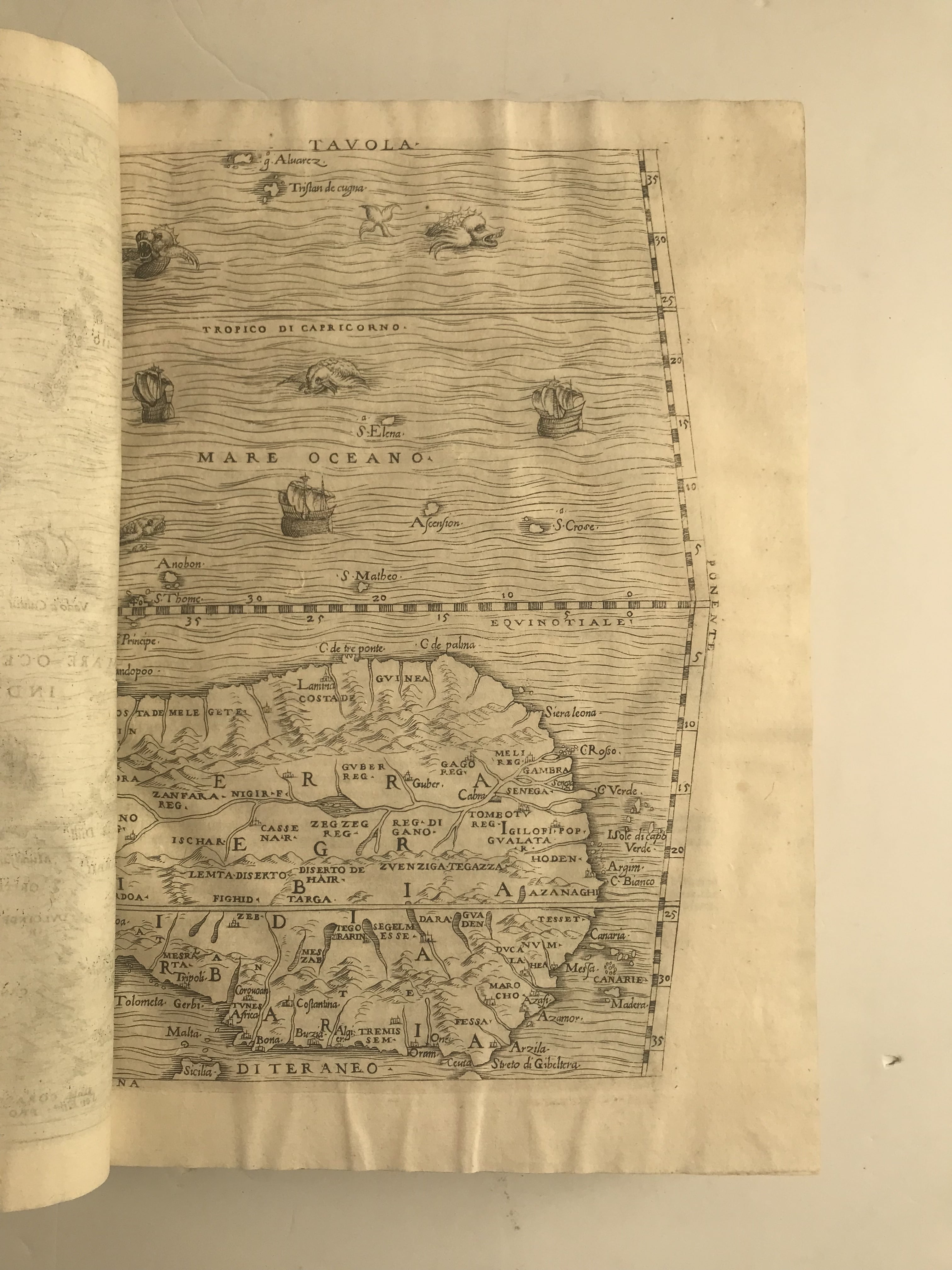
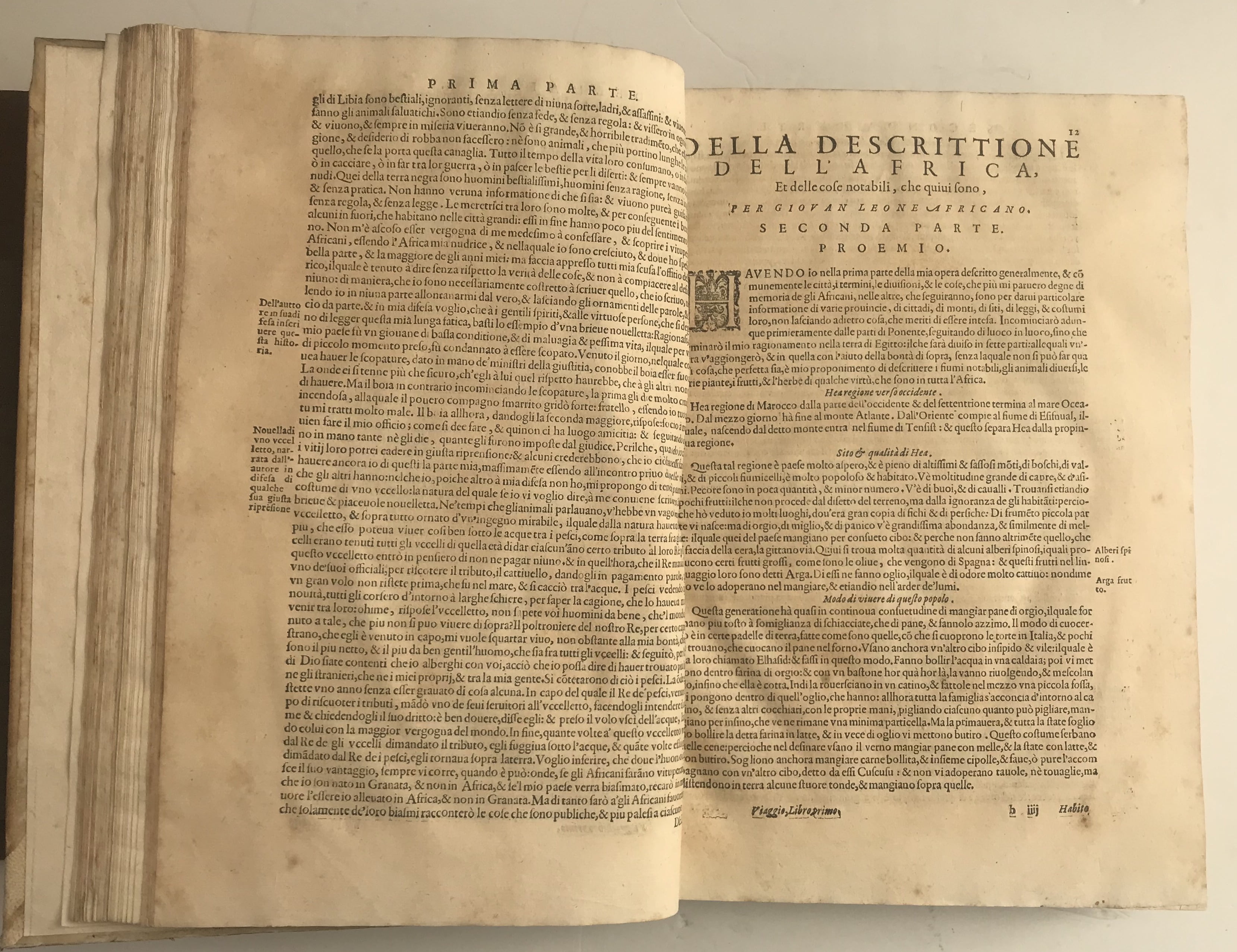
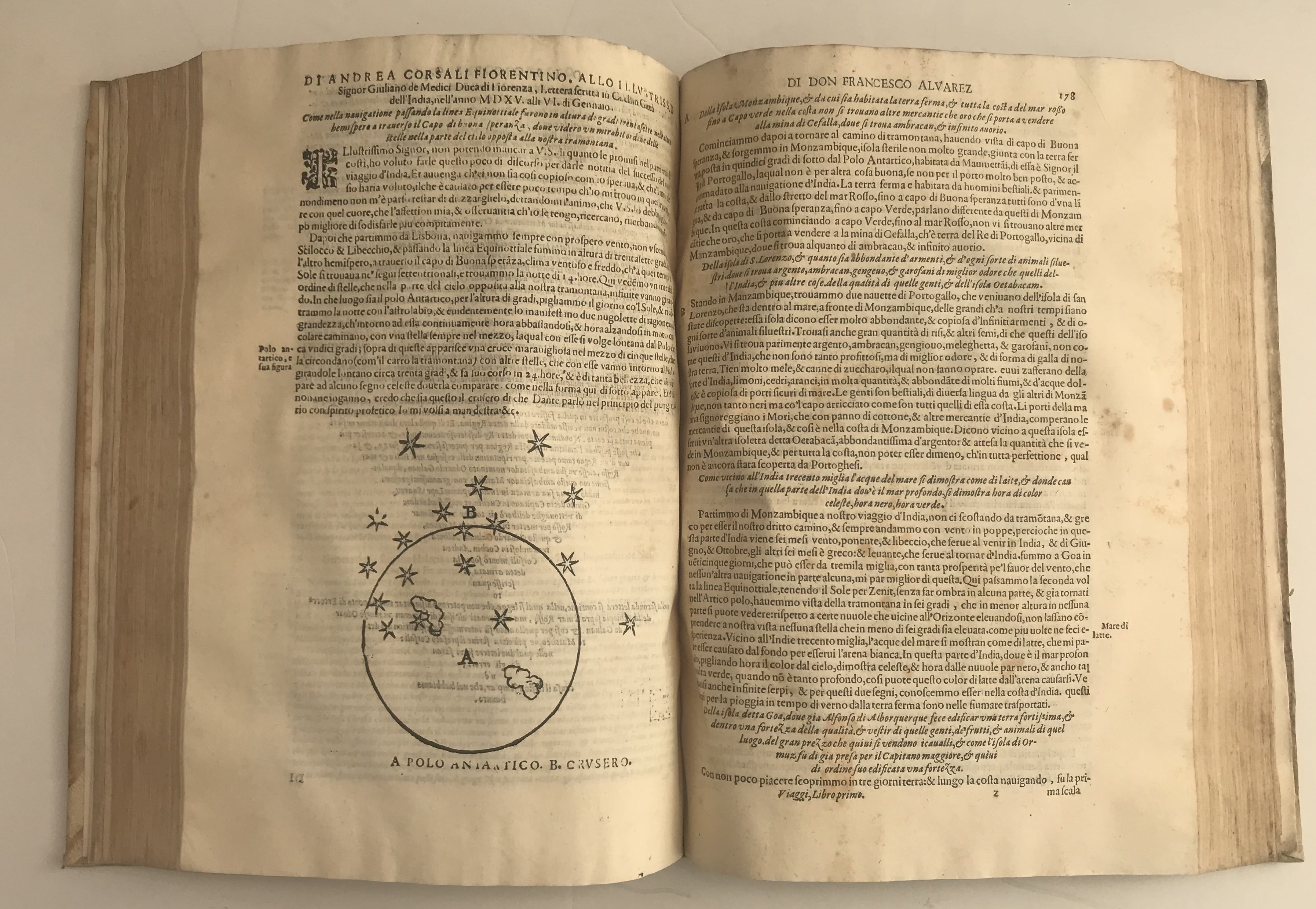
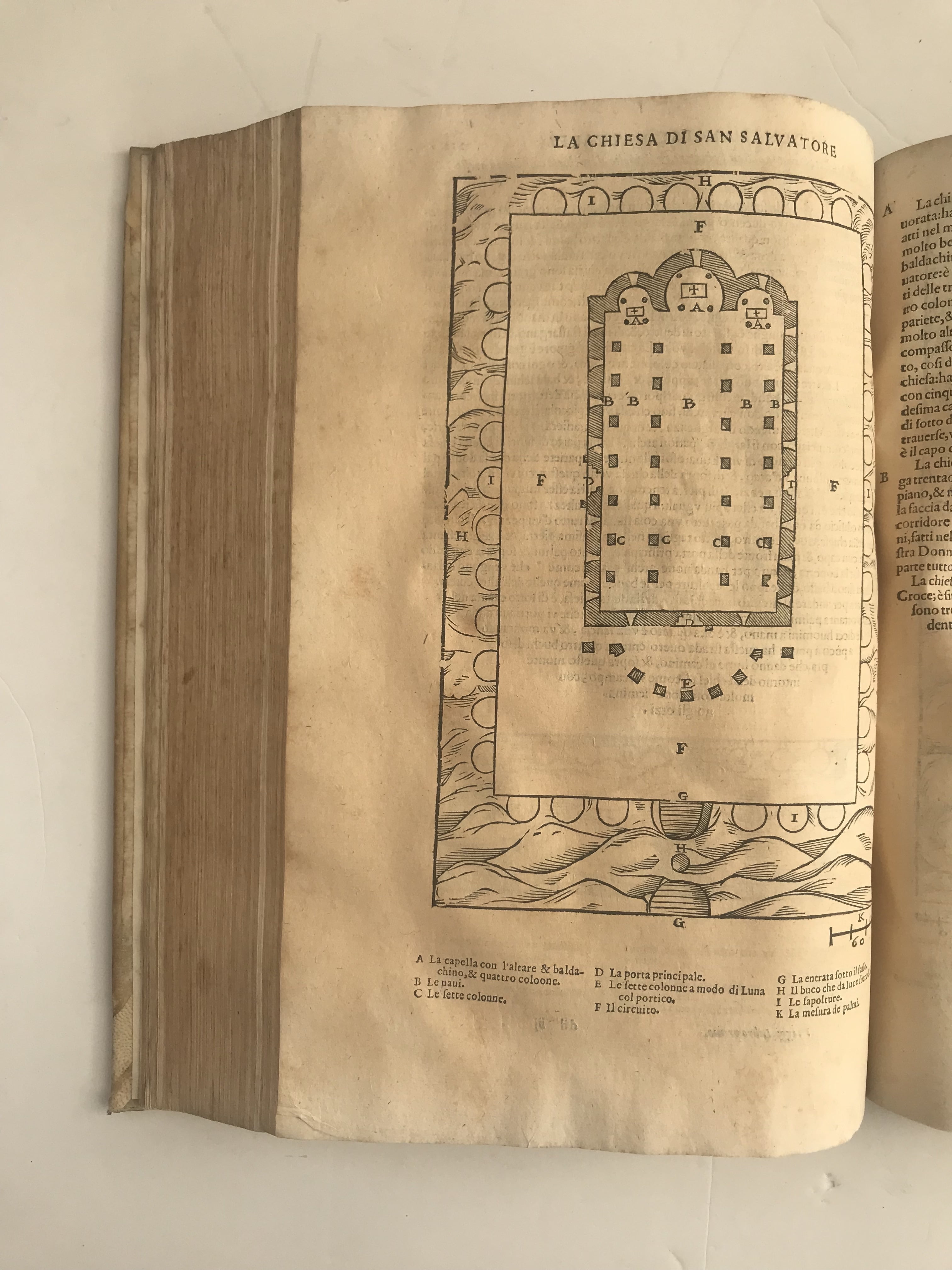
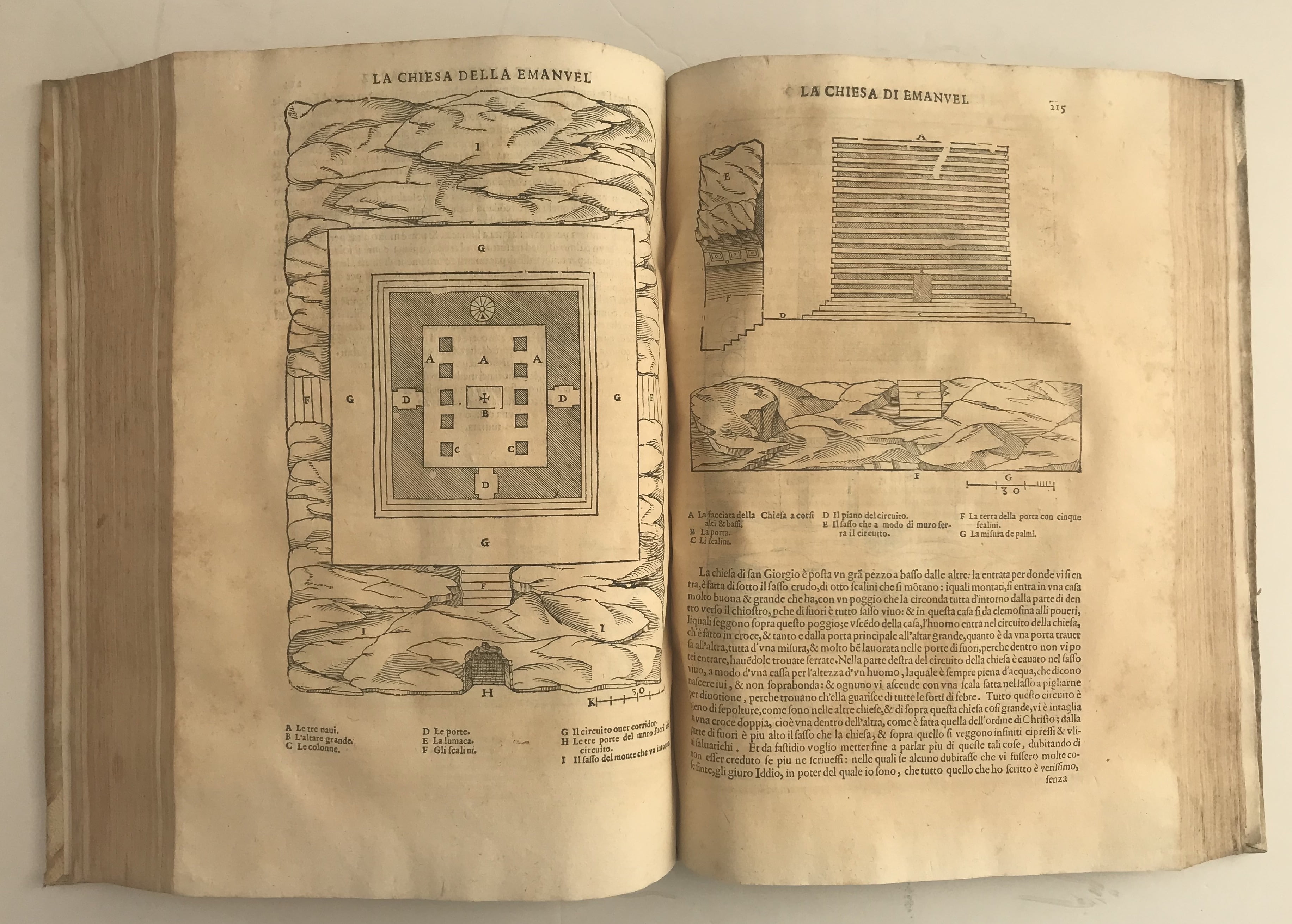
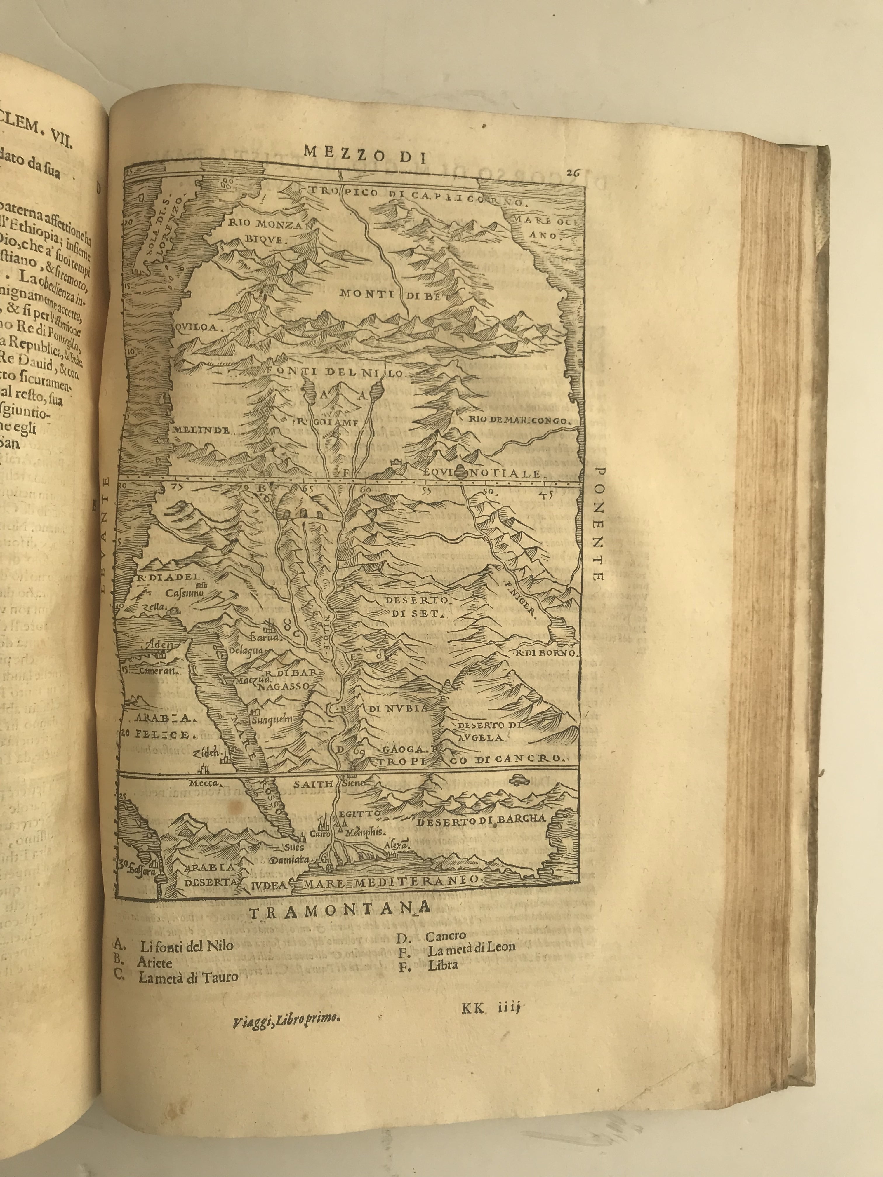
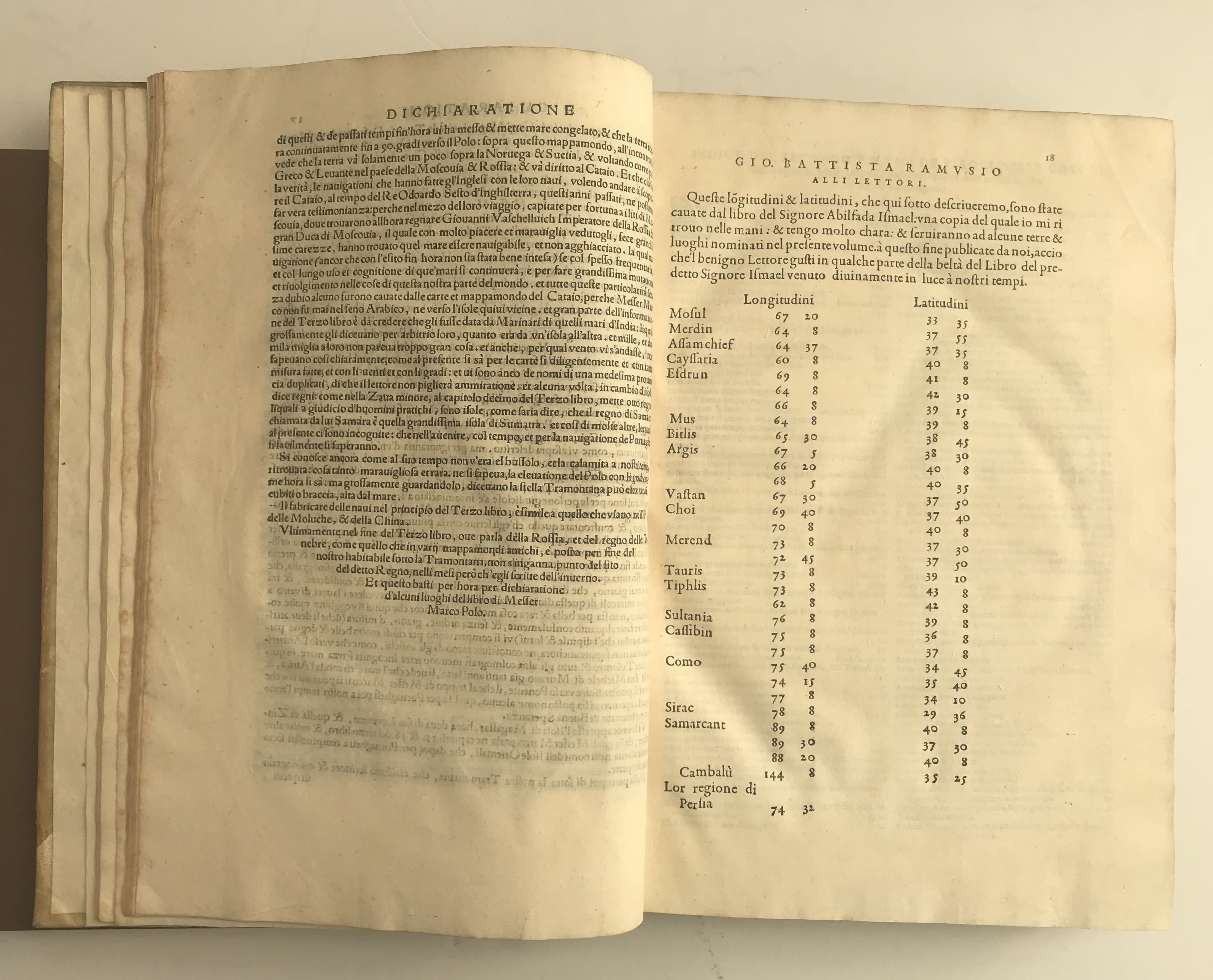
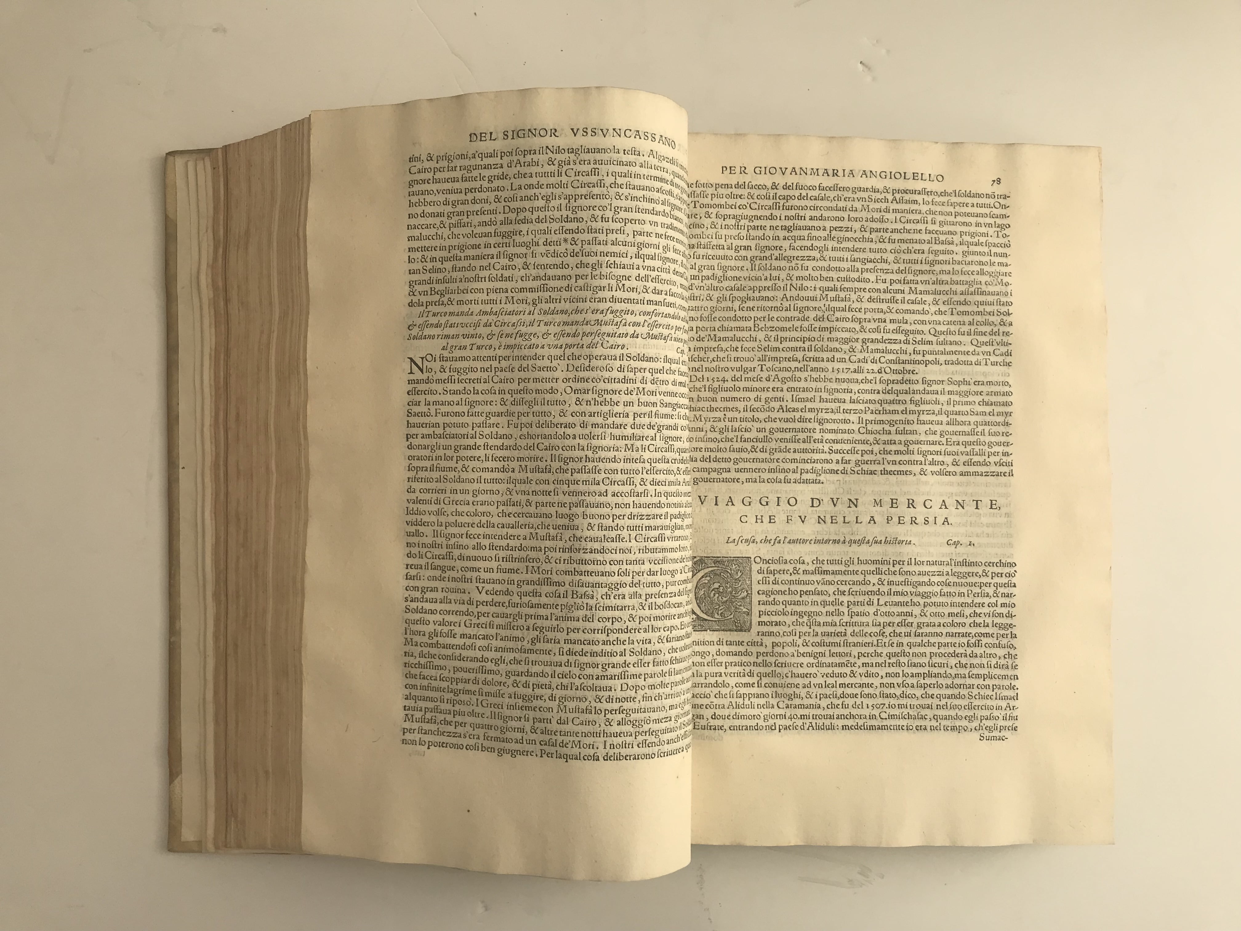
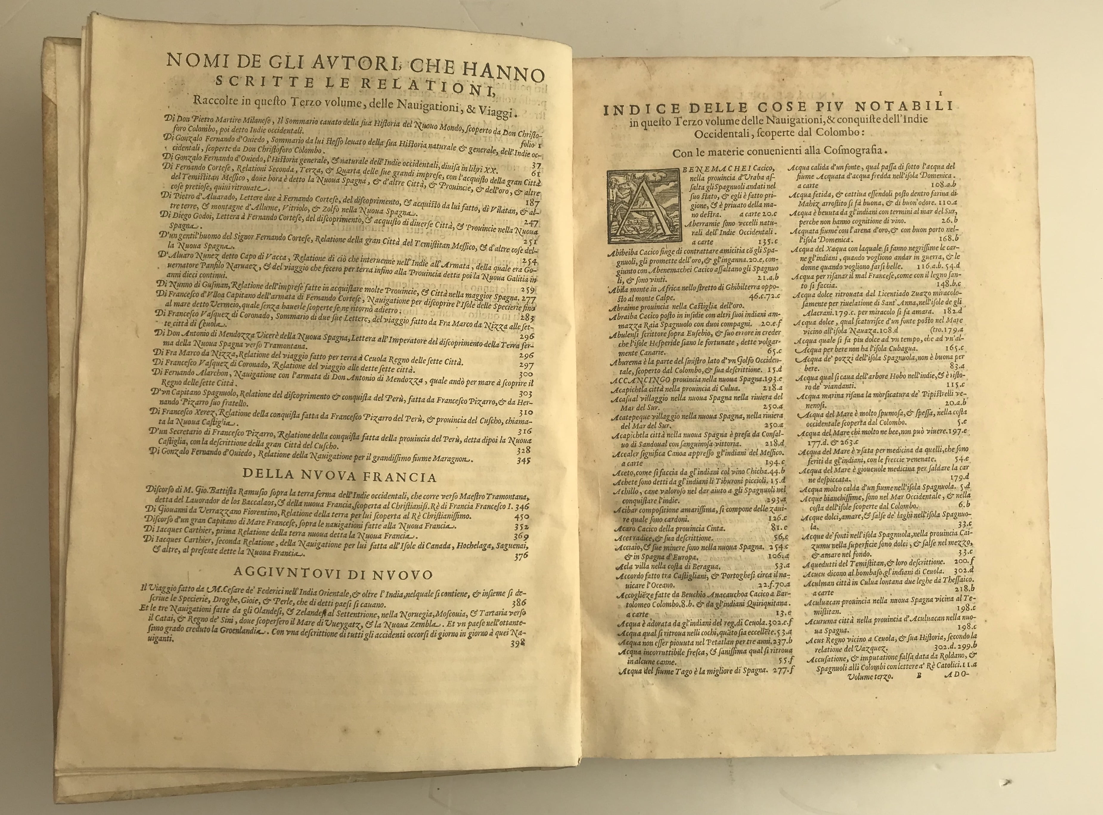
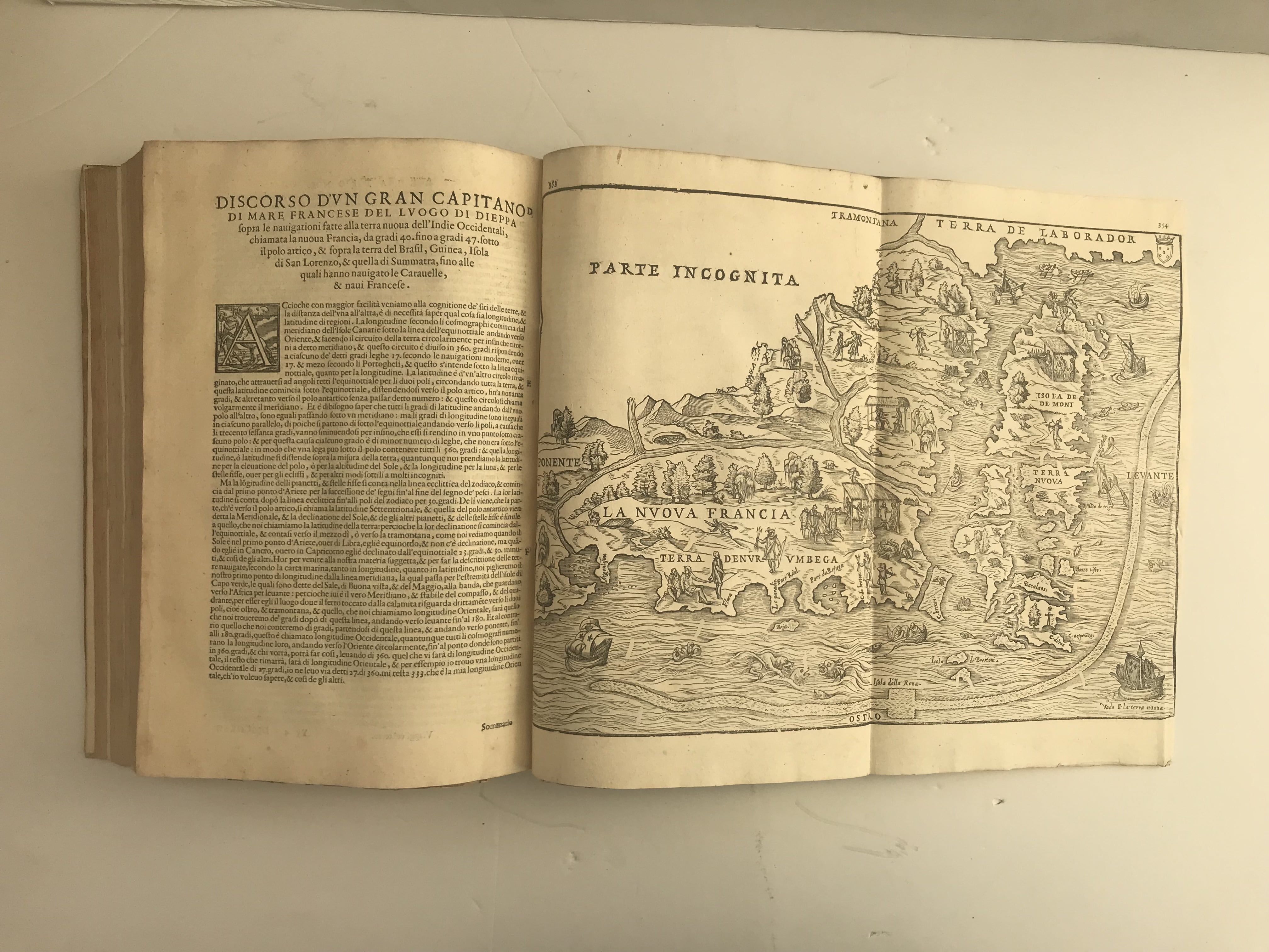
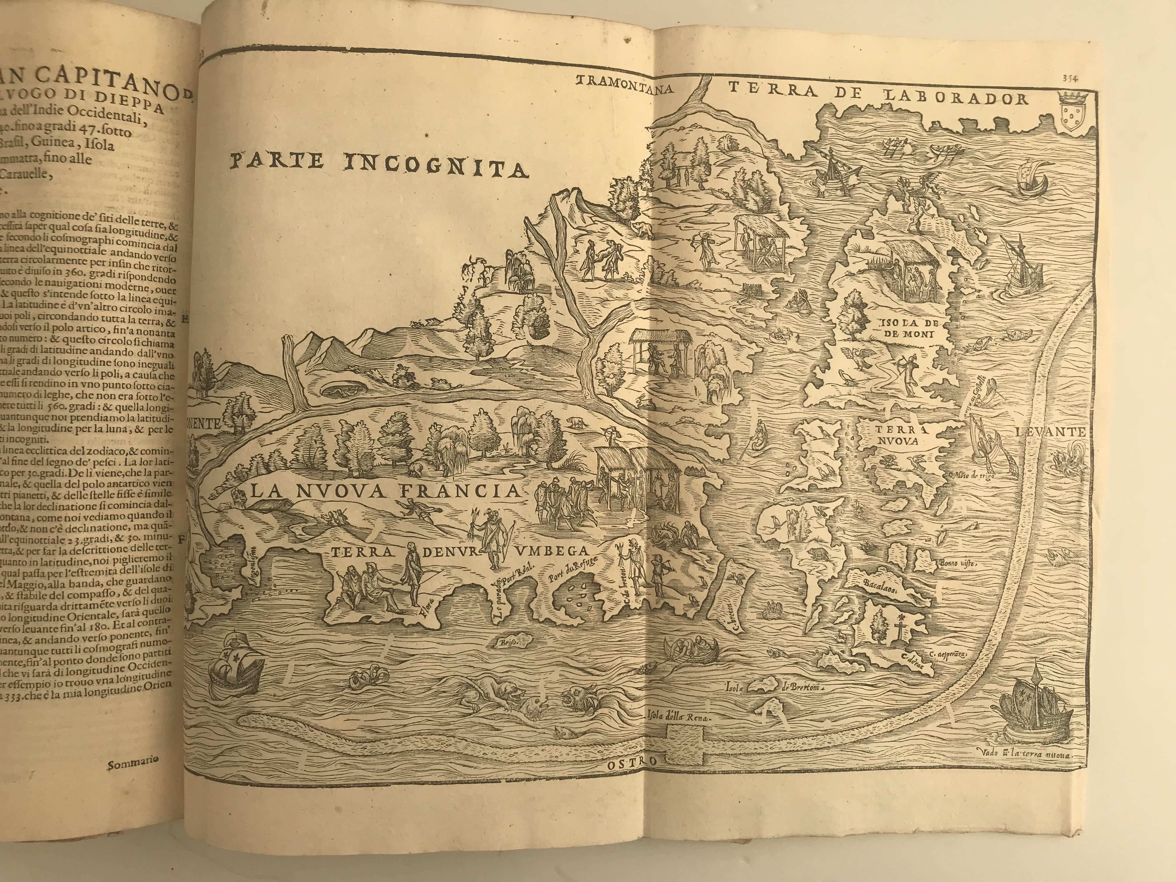
Folio. 3 vols. ff. I) (iv) 394; II) 256, 90; III) (iv) 430. Roman letter, with Italic. Woodcut printer’s device to t-ps and last of II) and III), over 40 woodcut illustrations of inhabitants, flora and fauna of Asia, Africa and America, 12 woodcut or copperplate maps (10 fold-out including Brazil, Cuzco and Sumatra), decorated initials. Slight mainly marginal foxing or faint dampstaining, little light age browning, the odd thumb or ink mark. Very good copies, on thick paper and of fine impression, in early vellum over pasteboards, rebacked and recornered c1900, traces of ties, gilt lettered morocco label.
Remarkably crisp and clean copies of one of the most important collections of voyages and discoveries, beautifully illustrated. As here, most recorded sets are composed of different editions and those like this featuring the most complete editions of each of the individual volumes are rare. 1583 is the first complete (and augmented) edition of vol. 2, and 1606 and 1613 the only complete ones of vols. 1 and 3 (Brunet, IV, 1100-1101), adding for example the travels of Barents and Federici for the first time.
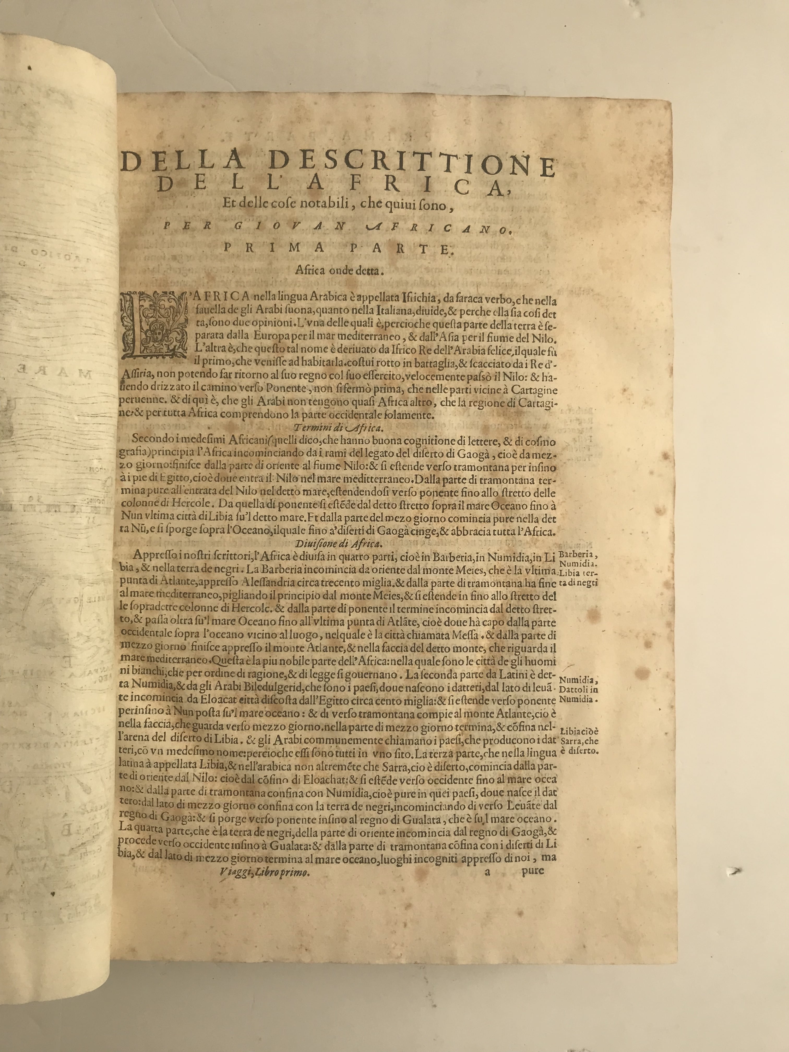
Born in Treviso, Giovanni Battista Ramusio (1485-1557) worked as secretary and envoy to Alvise Mocenigo, having access to the latest information on expeditions and travels of exploration reaching Venice from abroad. First published by Ludovico Giunta in three separate volumes between 1550 and 1565, ‘Delle navigationi’ was a collection of the first-hand Portuguese, Spanish, Greek, Dutch (all translated in the Italian vernacular) and Italian accounts of voyages to Asia, Africa and America published up to that time, illustrated with bespoke maps—the first work of its kind. The first volume is mainly devoted to ‘countries which have been known for 300 years’, e.g., from Africa (and the kingdom of Prester John) to the Eastern Indies. The second features the accounts of Marco Polo on the Tartars and China (with the first mention of tea in Europe), as well as notices on Persia, Armenia and Paolo Giovio’s ground-breaking work on Muscovy. The third is devoted to the world ‘unknown to the ancients’—Columbus’s navigations, Cortéz and Pizarro’s expeditions, and notices on Mexico, Peru and other American kingdoms. In addition to engaging information on local flora, fauna, politics and customs, ‘Delle navigationi’ provided accurate topographical information through handsome and innovative fold-out woodcut and copperplate maps illustrating Cuzco in Peru, Nuova Francia (Newfoundland)—the second separate map of Northeast America—with the colony of Montreal (the earliest printed such topographical plan for North America), Brazil, Sumatra (the first map of any island in South-Eastern Asia), Eastern Africa, one of the most complete maps of the Western Hemisphere, and a plan of the Mexican city of Temistitan. Through their re-prints of 1606 and 1613, the Giunta capitalised on the continuing commercial success of collections of travel writings epitomised by Richard Hakluyt’s ‘Principal Navigations’ (1589), the original model of which was, as it were, Ramusio’s work.
I) USTC 851974; BL STC It. C17, p. 720; Cordier III, 1939 (first edition only); Brunet, IV,1100-1101; Sabin 67735; Alden 613/108.II) USTC 851974; Cordier III, 1939 (first edition only); Brunet, IV, 1100-1101; Sabin 67738;Alden 583/59.III) USTC 4035955; Cordier III, 1939 (first edition only); Brunet, IV, 1100-1101; Sabin67739; Alden 606/87.In stock


