MARLIANI, Bartolomeo
AN OUTSTANDING COPY
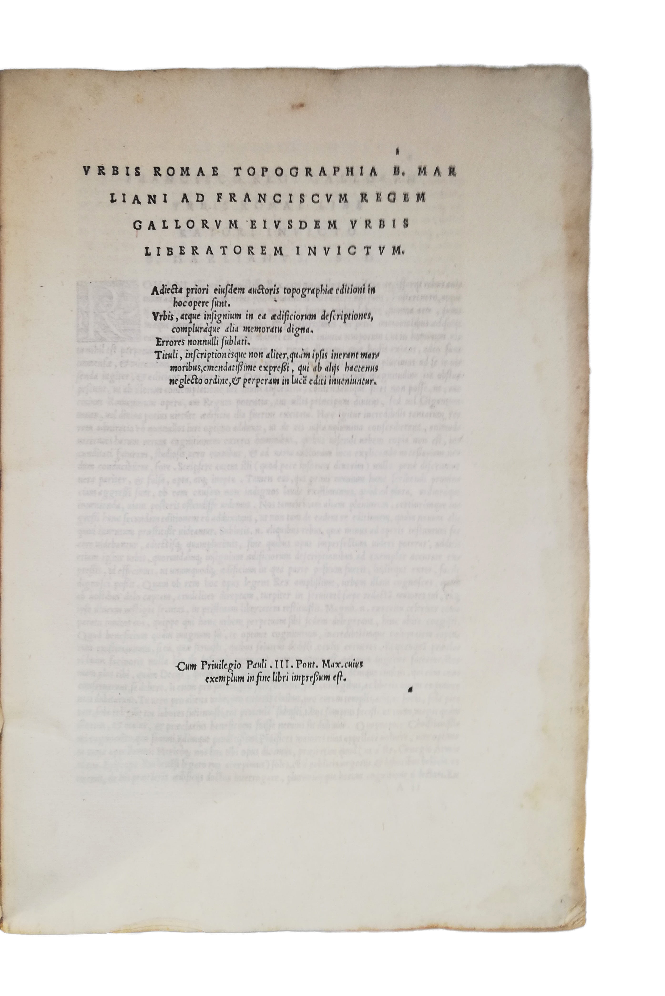
Urbis Romae topographia
Rome, Valerio and Luigi Dorico, 1544£10,500.00
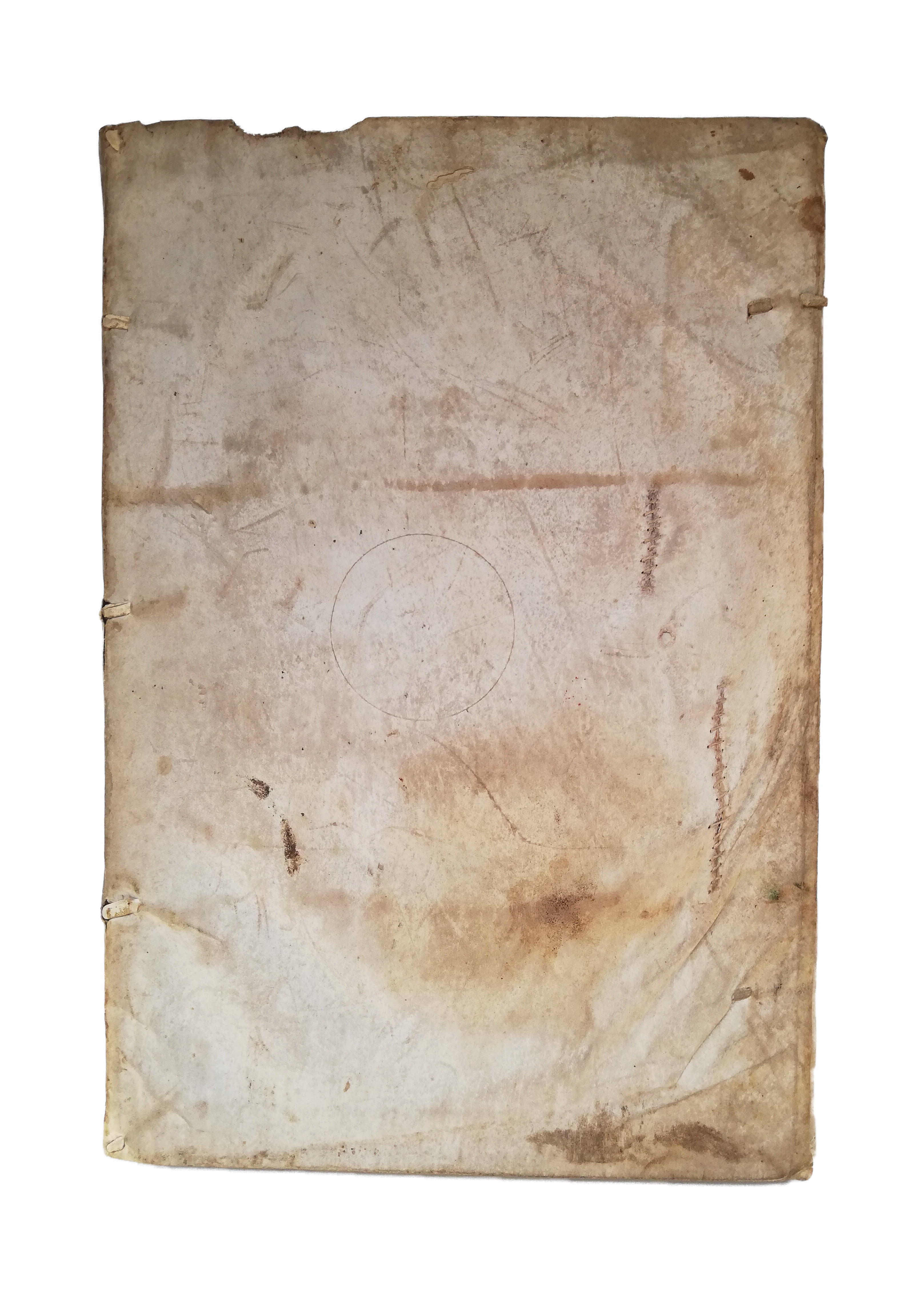
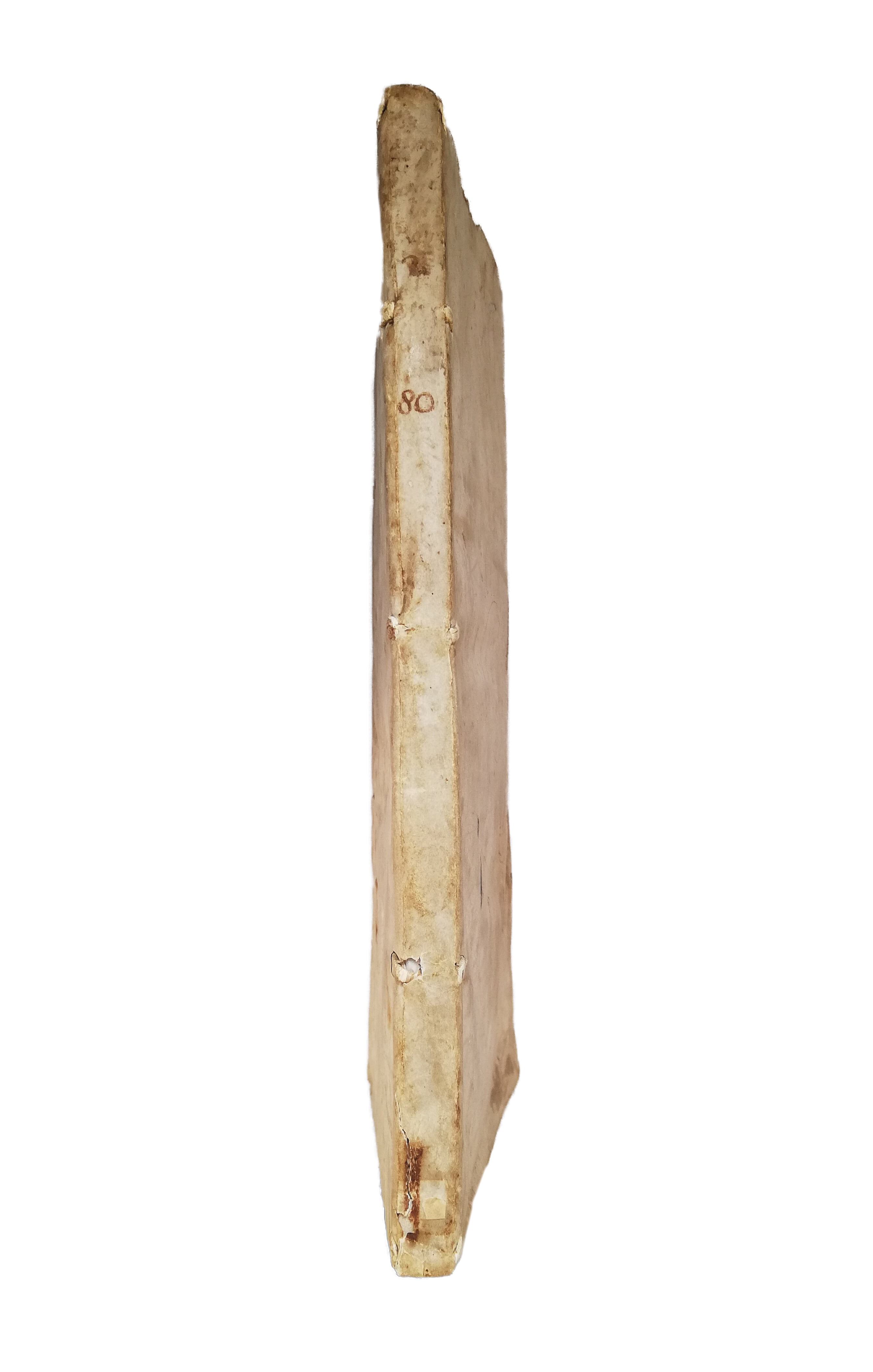
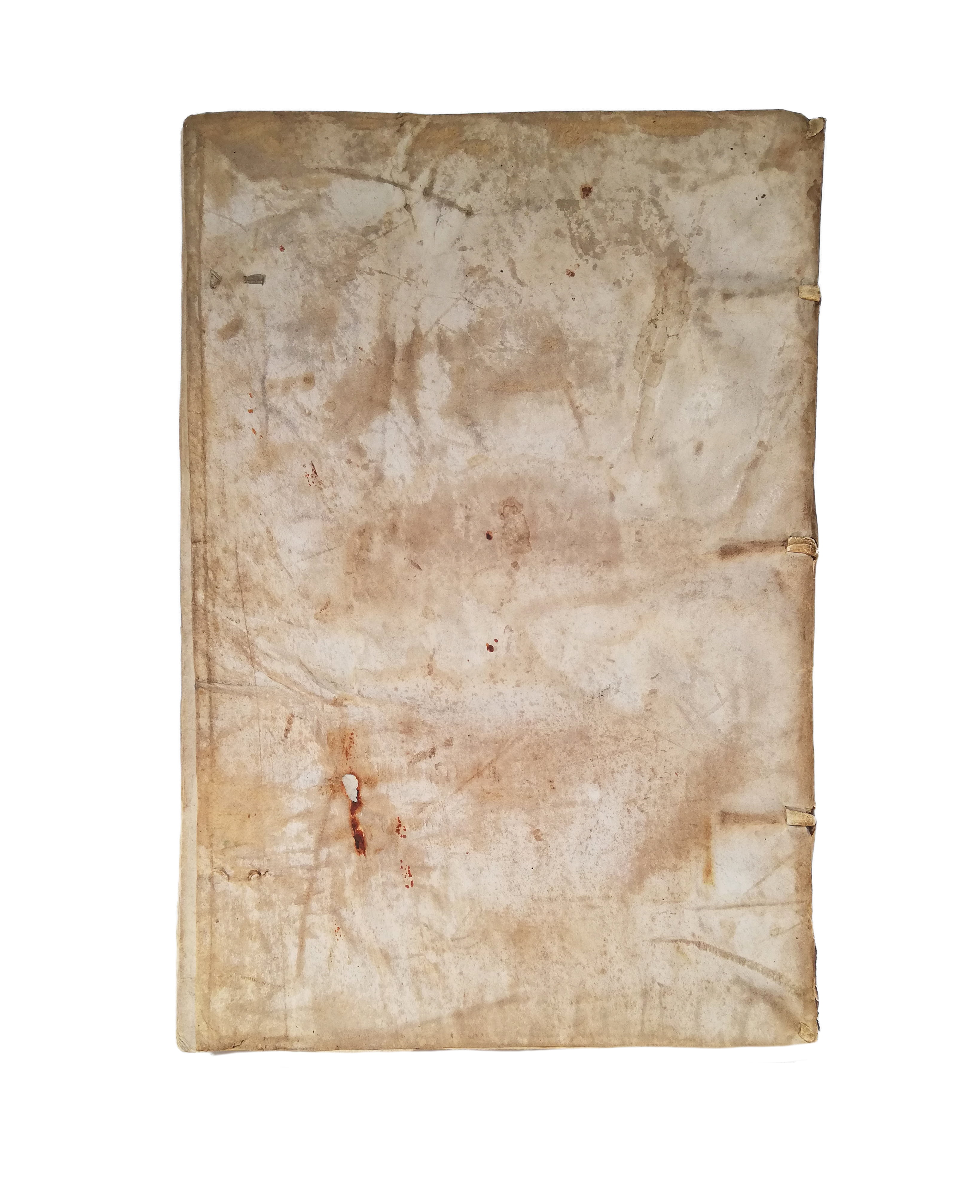
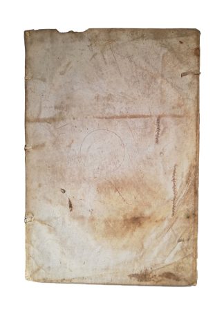
FIRST ILLUSTRATED EDITION. Folio. pp. (xii) 122 (ii). Italic letter, little Roman or Greek. 23 superb full- and half-page woodcut ancient monuments, statues, building plans and a double-page map of Rome signed by G.B. Palatino, large woodcut printer’s device to last, decorated initials. All edges untrimmed, slight yellowing, very light water stain to outer edge of first six ll. and last gathering, minor paper flaw to outer edge of F6, two rust marks on last four ll. An extremely good, fresh copy, on thick, high-quality paper, in contemporary limp vellum, lacking ties, two small repairs, couple of worm holes and a ms. circle to upper cover, small burn to lower, early ms. ‘80’ to spine, C19 armorial Nordkirchen bookplate to front pastedown.
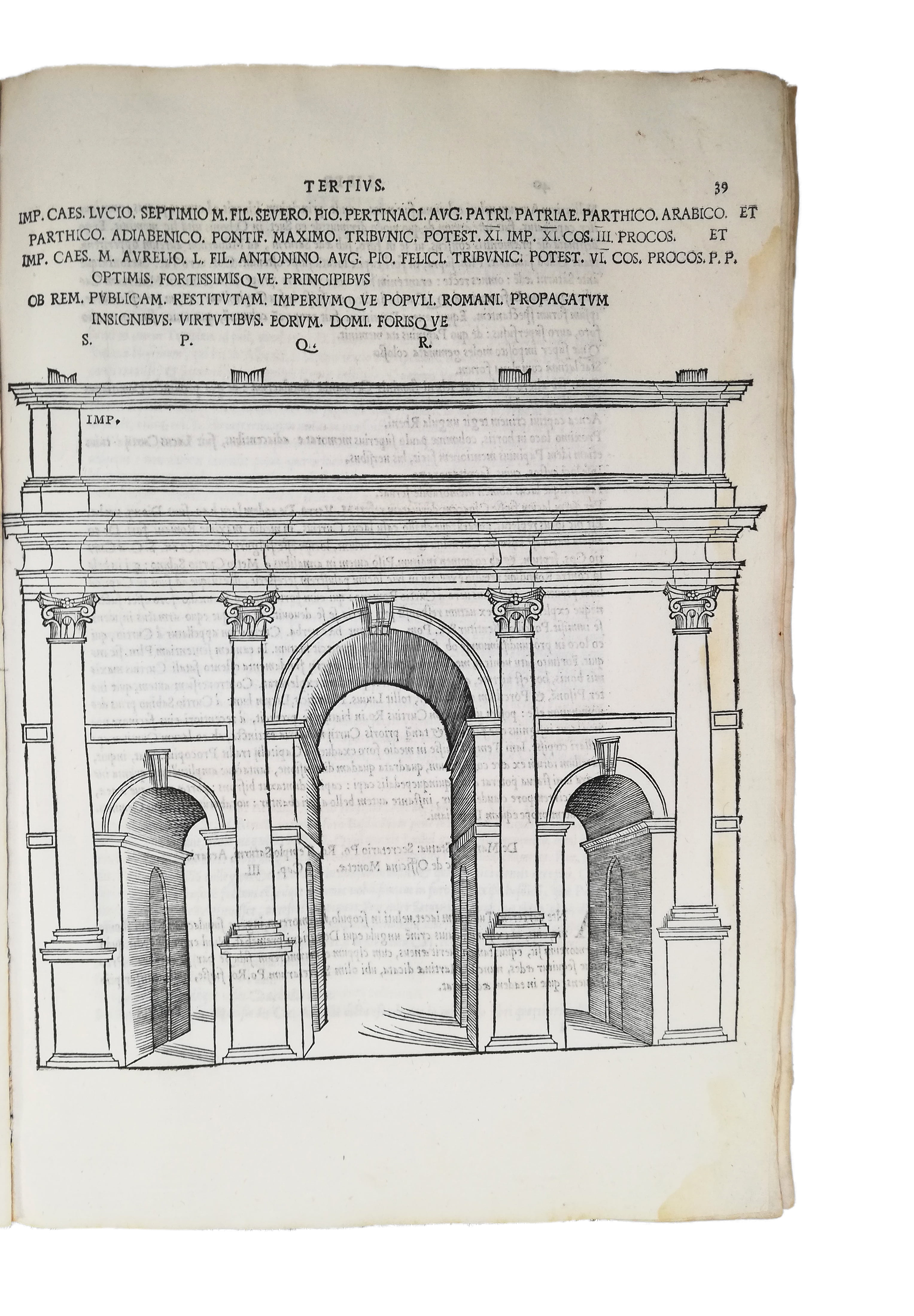
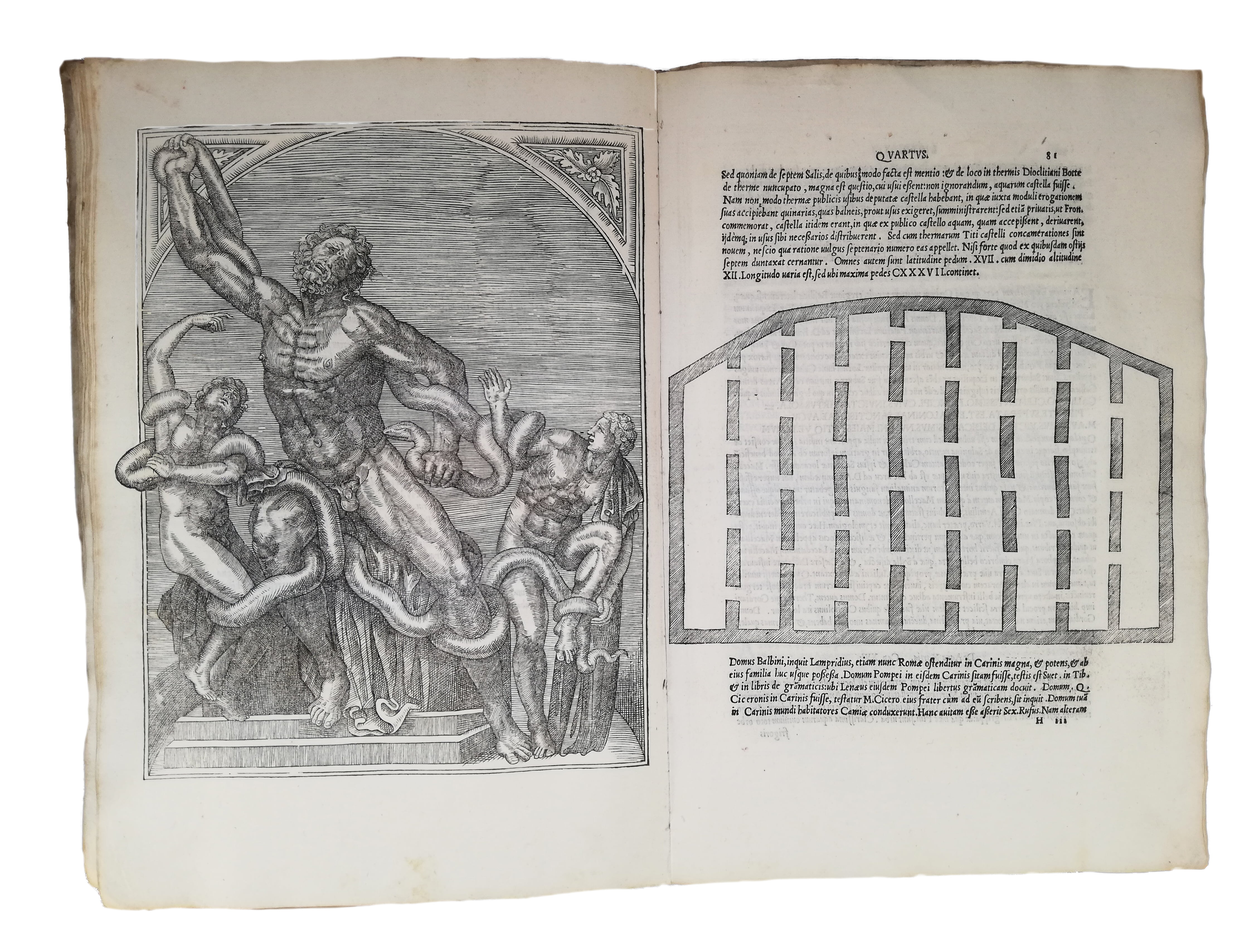
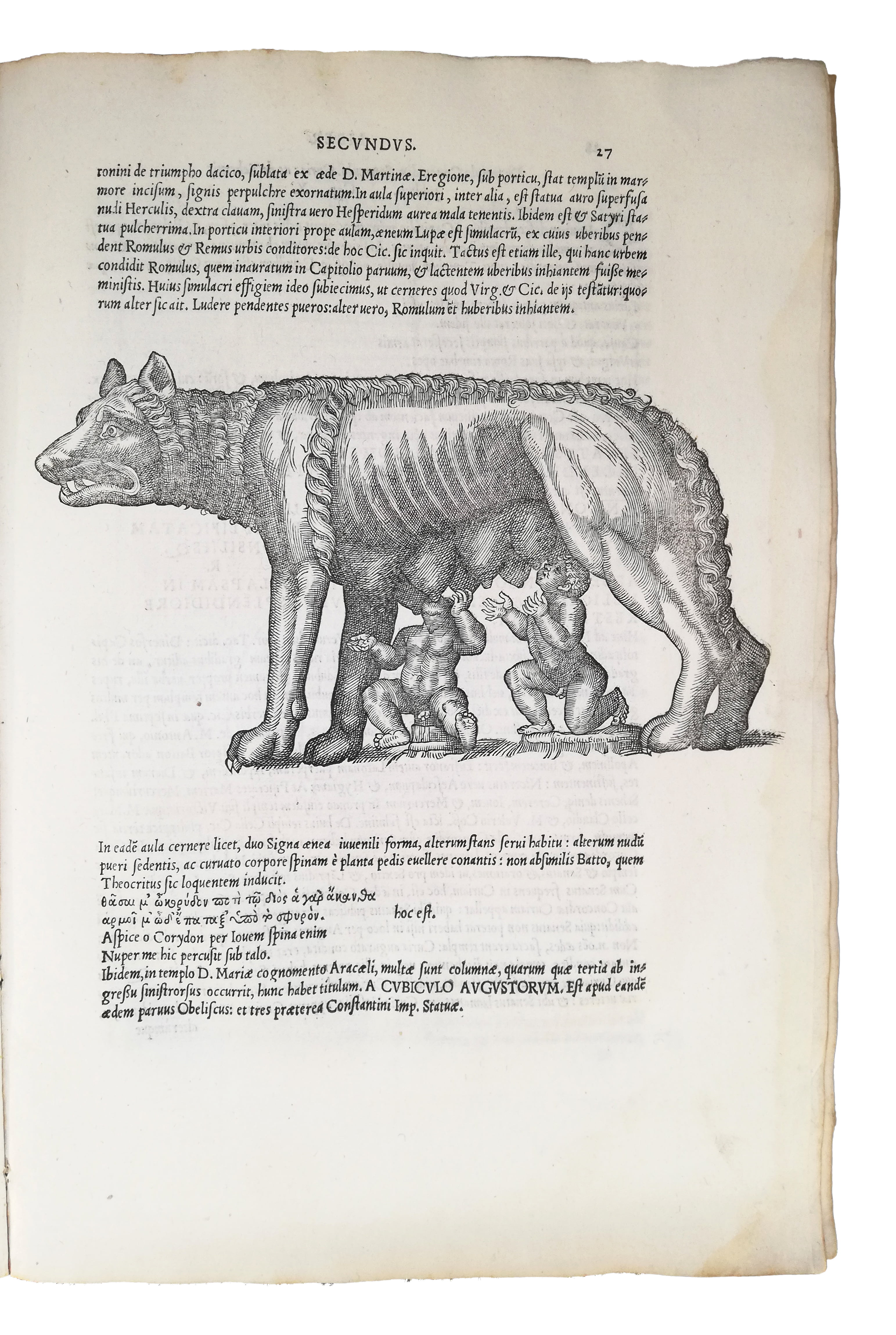
A fine copy of the first illustrated edition of this most important early guide to Rome—‘rare’ (Brunet). Bartolomeo Marliani (1488-1566) was a humanist, archaeologist and antiquary. First published in 1534 as ‘Antiquae Romae topographia’, this is his most famous work. This edition was dedicated to Francis I, and remained the standard reference for the topography of ancient Rome to the C18. Rabelais had planned to write a similar description of ancient Rome, a project eventually aborted; he contributed instead to Marliani’s, ‘offering his knowledge, and checking classical quotations and inscriptions’ (McGowan, 36). In peripatetic fashion, the work leads the reader around the remains of the ancient city, illustrating side by side its ruins and lost buildings. It discusses, in brief sections, temples, private and state buildings, arches, sepulchres, basilicae, baths, bridges, roads and aqueducts, but also statues and columns, often reproducing epigraphic inscriptions, and with the help of 23 woodcuts, here in strong, clean impression. The handsomely illustrated statues of the ‘Lupa Capitolina’ and the Laocöon are remarkable, this depiction being ‘one of the earliest known’ (Fowler). Marliani’s identification of the original location of the Foro Romano was harshly criticised by the architect Pirro Ligorio, whose (incorrect) theory eventually prevailed. ‘Topographia’ epitomized a growing ‘confluence of interest among scholars and architects who were pursuing a common goal, the graphic preservation of Roman antiquity’—a feat previously attempted, among others, by Serlio in ‘Terzo libro’ and Raphael, in a short-lived project begun just before his death (Maier, 8). The large, important map of Rome is beautifully executed by the celebrated calligrapher Giovanni Battista Palatino (1515-75). Following the ‘ichnographic’ technique defined by Vitruvius, current among architects but little known to the wider readership, it portrays jointly natural and human topography, rendering buildings as plans, specifying the thickness of walls and columns, and, through fine hatching, the relative height of the hills—all to scale (Maier, 6). A fresh, clean copy of this important work for the early modern rediscovery of ancient Rome.
The Nordkirchen Library was located in the castle of the Dukes of Arenberg, built in the early C18 and known as the ‘Versailles of Wesphalia’. One of the richest of its time, the library comprised very rare, sometimes unrecorded mss, incunabula and early books. The collection was sold in Brussels in 1951, when it was first revealed to the wider public, becoming a major event for bibliophiles worldwide.
Schudt 605; Mortimer, Harvard It. C16, 284; Fowler 189; Brunet III, 1437; Berlin Cat. 1831. Not in Sander. J. Maier, ‘Mapping Past and Present’, Imago Mundi 59 (2017), 1-23; M. McGowan, The Vision of Rome in Late Renaissance France (2000).In stock


